August Complex
During the Fire
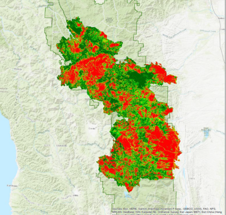
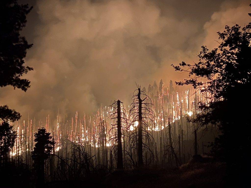
A significant pattern of lightning activity covered much of California that started the weekend of August 15 and 16, 2020 initially causing 38 local fires. Spanning 6 counties (Glenn, Tehama, Mendocino, Lake, Trinity, and Shasta) and 3 National Forests (Mendocino, Six Rivers, and Shasta-Trinity) within the eastern edge of the Northern California Coast Range, the August Complex engulfed 1,032,648 acres making it the state’s largest wildfire on record. The wildfire raged for over four consecutive months that called for seven incident management teams to collaboratively address immediate needs. The fire footprint included:
- 612k acres of the Mendocino NF
- 162k acres of the Six Rivers NF
- 139k acres of the Shasta-Trinity NF
Post-fire Observations
There is an ongoing discussion of post- August Complex observations among public and private stakeholders as well as representatives from various agencies that stemmed from FireScape Mendocino’s 12th Workshop held virtually on April 28th and 29th, 2021. The Workshop overview is available via the blog.
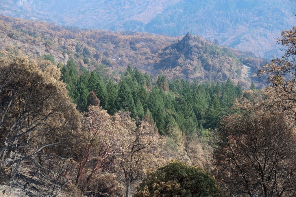
Landscape: Overall, catastrophic changes have occurred within the Mendocino National Forest and adjacent lands whereby 98% of the forest has experienced fire in the last 2 years including the 2018 Ranch fire that engulfed over 288,000 acres as well as the 2020 August Complex that engulfed over 1 million acres. Nearly a year after the onset of the August Complex, the disturbance processes is well underway fostering natural variation of its animal and plant species for years to come. The Forest’s new landscape is a rearrangement of fuels to include:
- A mosaic pattern of remaining vegetation more so than 2018 Ranch
- Formerly dense live stands are now dead or sparsely mixed with live trees. Over time the dead tree material deteriorates and will accumulate on the forest floor while shrubs rapidly grow without canopy shade
- Select areas of the forest are prime for reintroduce prescribed fire intervals
- Select areas of the forest are incredibly vulnerable to another high intensity burn if left untreated
Social Context: Catastrophic losses of this magnitude tends to focus the physical landscape-level status such as habitat and ecosystems. The impact to the people and communities within and around the burn footprint are also of value.
Shared experiences in feeling the forest loss were identified to include the following community concerns:
- Way of life; loss of traditions and economic livelihoods
- Wildfire in the west is inevitable, everyone needs to be educated and be proactive
- A different forest “my son will not ever see the same forest landscape that I grew up in.”
- Loss of access to public lands
- Challenge for wildlife
- Loss of water quality; increased erosion and hydrophobic soils
- USFS has limited resources to address the scope and scale of the devastation
FireScape Mendocino facilitates community discussions and informational exchanges for an improved fire-adapted local landscape.
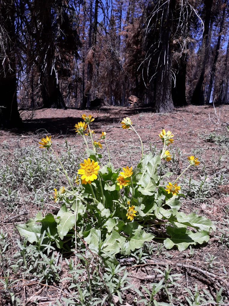
FireScape Mendocino unites citizens and natural resource specialists as a collective stakeholder group to help process the post-fire emotional and physical losses.
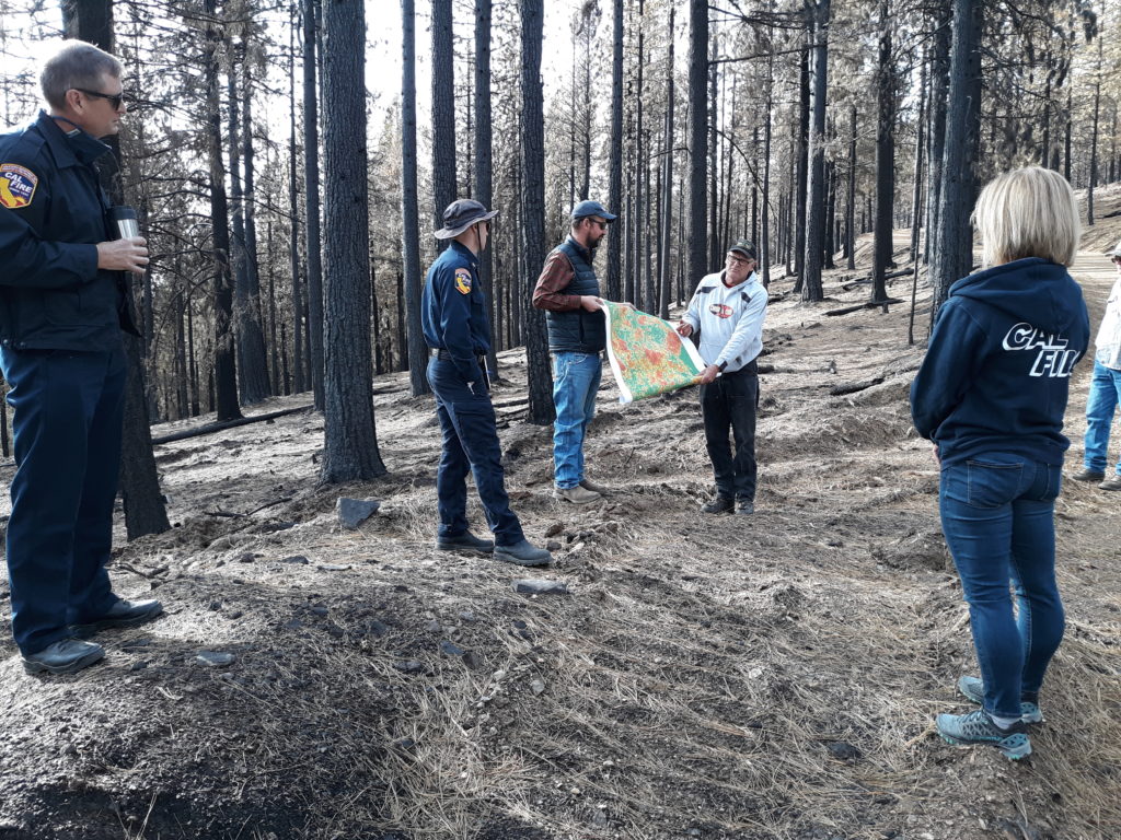
FireScape Mendocino creates shared learning experiences for citizens and natural resource specialists through free Workshops and Field Trips. These sessions generate guiding principles for resource managers to incorporate into planning documents and implementation.
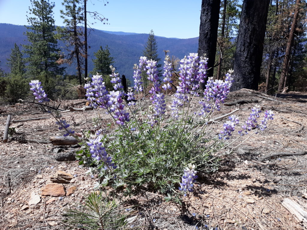
Through FireScape Mendocino’s collaborative process, multiple forest users including tribes, wilderness tourist (hiking, backpacking, wildlife and wildflower viewing, cabin use, etc.), recreationists (fishing, hunting, OHV, horse-back riding, camping, etc.), timber harvesters, and ranchers, as well as natural resource specialists such as foresters and biologists representing commercial timber, CAL FIRE, US Forest Service, and the Bureau of Land Management play a role in shaping the future forest.
What does going forward look like for the Mendocino?
At well over 1 million acres, the Mendocino forest area calls for an all hands-all lands approach in returning this shared resource to a fire-adapted landscape, intentionally preparing sites for wildfire in advance of such an event. It is critical to incorporate the ongoing impacts of climate change as drought and high temperatures not only directly affect trees, but also influence pest and pathogens. Below are components identified by stakeholders that may provide a strategic path forward. It is organized as a cross-section forest profile from low to high elevation features.
- Forest Floor: Reduce surplus of surface woody fuels that could drive high-intensity burns. This allows for prescribed burns to operate under ideal or near ideal conditions. Address slash and other woody debris by either pile burning or removing from the forest. Leaving slash on floor is risky as it takes time to breakdown before the next wildfire
- Ladder Fuels: Surface fuels spread quickly from brush and woody debris. Mid-height vegetation acts as a conveyance, advancing fire to the treetops or crown. A crown fire is incredibly difficult to control as embers can be windthrown
- Multidiameter thinning via mastication to support a mixed age forest
- Riparian: The August Complex has shown that no draw or creek is unsusceptible to wildfire. These areas are to be include in treatments while maintaining CEQA compliance.
- Ridgeline: Continue to capitalize on these complex zones as they play a role in fire behavior
- Trailing-Edge: Consider a shift from pine to hardwood or shrub if it isn’t too advanced to manipulate
The following are other considerations in supporting a fire-adapted Mendocino forest as identified by FireScape Mendocino’s diverse stakeholders:
- Take lessons learned from the 2018 Ranch Fire and apply to the post-August Complex recovery effort
- 2 years after the Ranch Fire – Trees rebounded from mild to moderate scorch; however, the stress from the burn made them more vulnerable and are deteriorating due to bark beetle. Drought has shown a greater degree of bark beetle activity.
- Increase mortality monitoring
- Restoration: Revert to fire-dependent ecosystems that mimic natural fire regimes. Implement prescribed fire to address remnant post-fire debris. Focus on low severity zones as opposed to mixed or moderate severity zones
- Reforestation:
- Allow succession to roll out naturally in remnant areas
- Need to plant and assist in species composition for habitat structure; lacking seed. Consider seed source distance; plant in areas far from seed source.
- Encourage mosaic pattern by targeting seeding within the interiors of large high severity patches while retaining select snags (dead trees) in small high severity patches
- Increase spacing between tree plugs for industrial timber to reduce thinning and overall eliminate added fuel loading to the forest floor
- Salvage timber: Removal for safety; target weakened trees (50% probability of death) and keep trees with a low probability of mortality
- Forest-wide NEPA
Current Fire-Adapted Activities
- The Tehama Mendocino Fuel Reduction Partnership was generated through FireScape Mendocino and consists of the Resource Conservation District of Tehama County (RCDTC), US Forest Service-Mendocino, and timber operator Crane Mills. After the August Complex the Partnership shifted its focus areas onto private ownership. In doing so, they are able to respond quickly to the post-fire landscape through mastication, pile-burning, prescribed burning, conifer replanting, and mixed forest restoration within the fire footprint of the ownership. Details of the project are posted on the RCDTC’s website at https://www.tehamacountyrcd.org/tehama-mendocino-fuel-reduction-partnership
- The Mendocino National Forest is planning the Plaskett-Keller August Complex Phase 1 project. This project considers a gross area of approximately 4,500 acres of post-fire recovery activities to remove fire-killed and fire-injured trees. It would improve employee and public safety, capture remaining economic value of dead trees, and reduce post-fire fuels to prevent the future buildup of excessive fuel loads. Details of the proposed three-phase approach are posted on the USFS Mendocino website here.
